I started off on Friday, 5/6. Tired of I-81 and all of the trucks, I decided to take Route 29. I got to Sawmill Run Overlook in 2.5 hours, but took a wrong turn because the moon shed no light on the SNP sign just off the exit. Further complicating things was a convoluted network of roads to get to the actual Skyline drive. I got there and listened to Pink Floyd until Tommy arrived.
He got there around 10:45 and we immediately started looking for the trailhead in the pitch black of the night. Once found, we stashed my stuff in his car, hid my valuables in mine, and sped off to Humpback Mountain overlook about 17 miles South. At the overlook we used his car lights and our headlamps to find a good bandit camping location just off the lot. We found a decent one and set up the best we could. I crawled into my hammock and slept hard. A key decision to me sleeping so hard was bringing my down 10 degree bag instead of my 40 degree one. The weather was already 50 degrees when we got there and was dropping fast. The breeze was pretty strong, so the warmth of that bag plus the cooling factor of the breeze was just the right formula for knocking me out.
I woke up to the sunlight at about 6:15. Once I stirred Tommy was up as well, and we were off to stowing all of our excess junk into his car; getting rid of all this weight (sleeping bag, hammock) really helped us move quickly on the trail. Our normal 18 lb pack was shaved down to 8 or so. We hit the trail at 7.
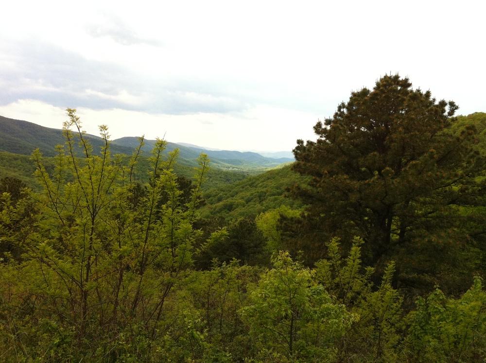
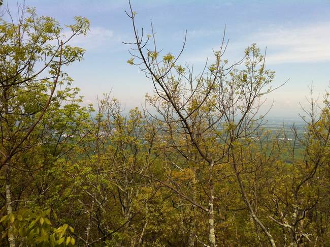
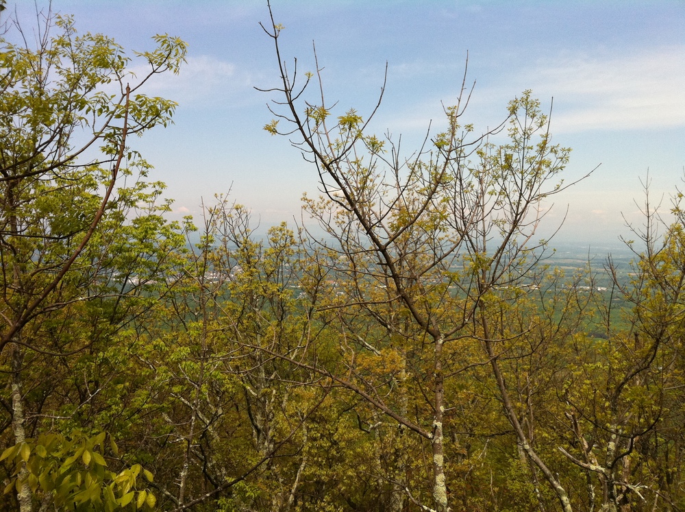
We stopped early on at an overlook to admire the mountains we’ve come to love over the years we’ve hiked them:

The sun rises over the AT 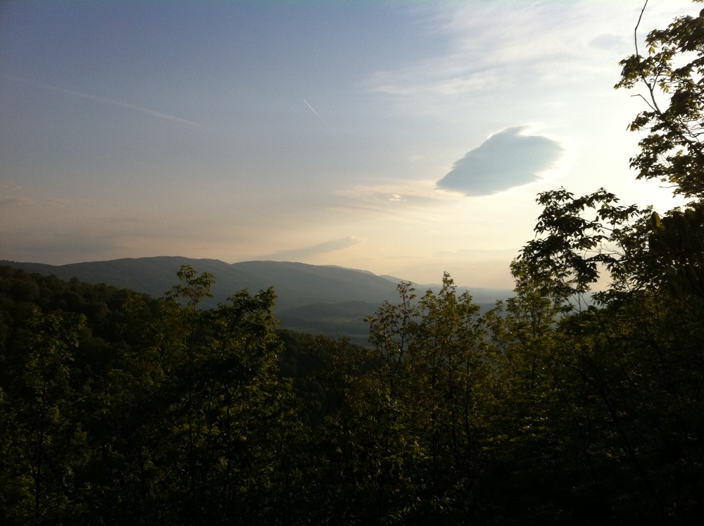

Another sunrise shot 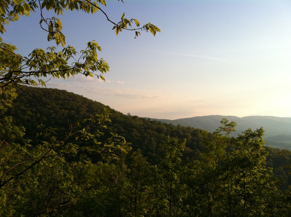
We sped along the trail, full of energy. Soon we hit a pretty big spring:

A huge spring 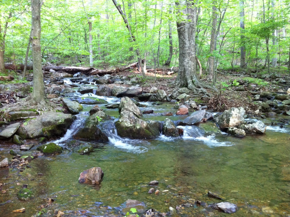
After about an hour of hard hiking we came upon a little side trail which led to a group of unmarked graves. We counted 15 of them, 14 of which had no identifiable information on them - just an upended piece of slate. Only one of them had writing we could discern: M.C. Lowe, born in 1866. Very cool!

A plot of unmarked graves 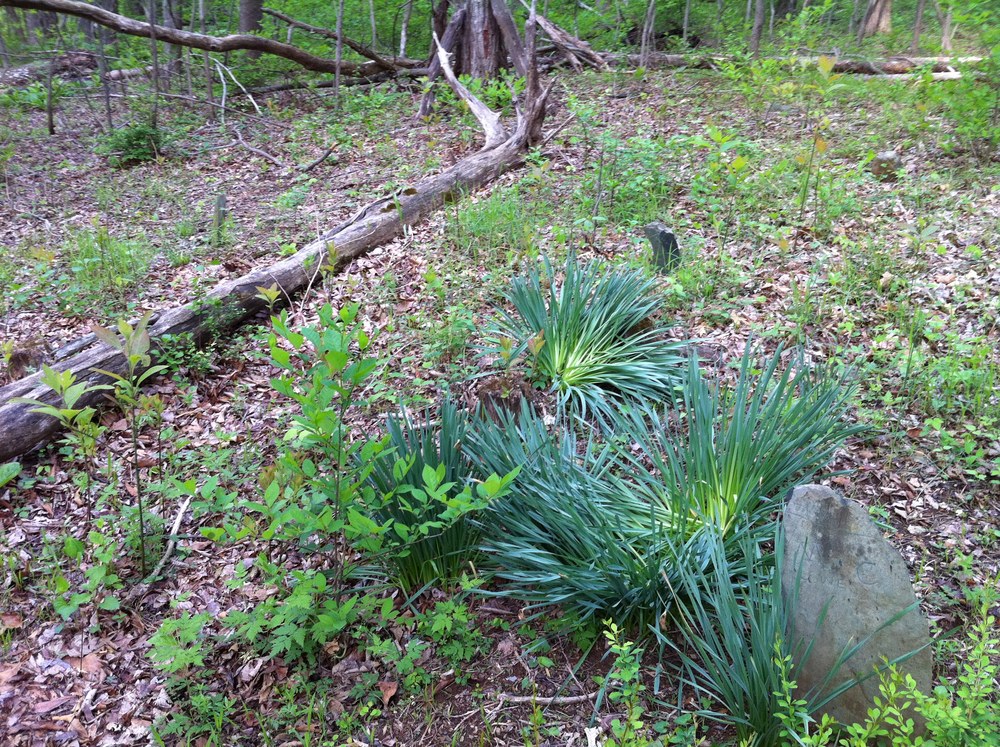
A little ways down the trail we came upon the remnants of the family to whom some of those graves belonged.

The remnants of a late 1800s residence 

Another spring 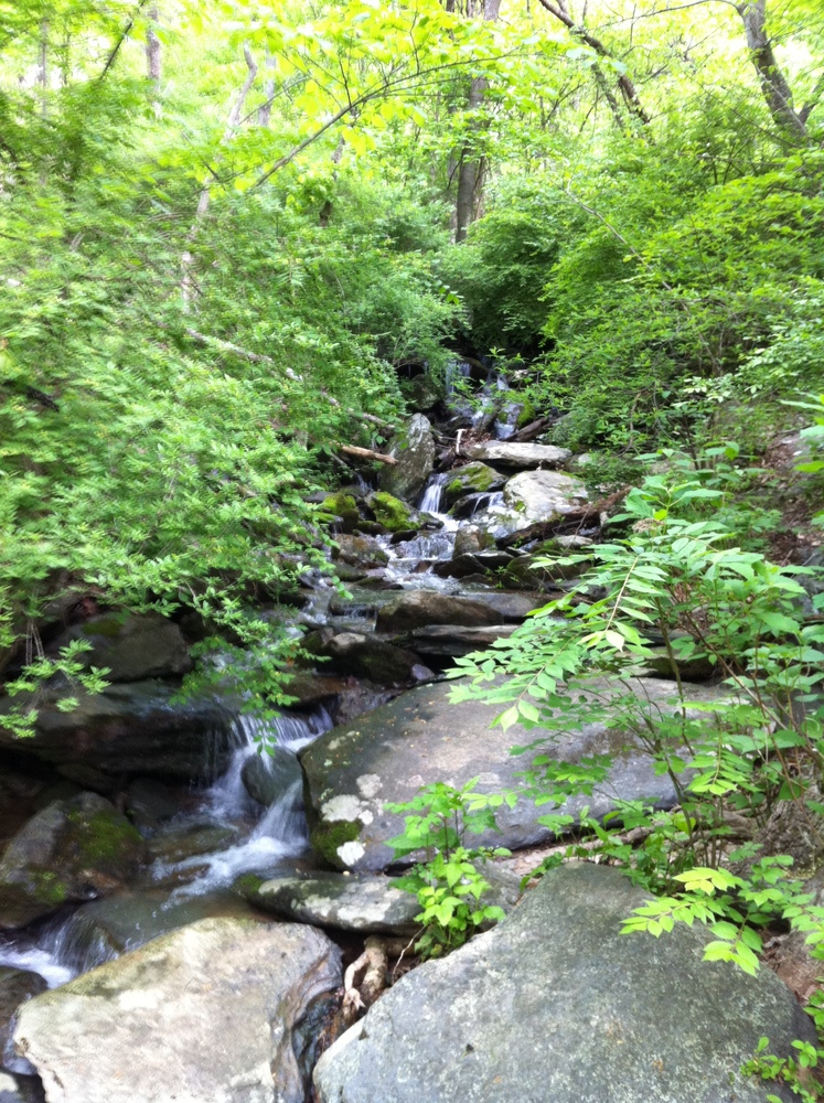
We went so blazingly fast along the trail we had walked seven miles before we even broke a sweat! The weather was perfect with a gentle breeze and a temperature in the mid 50s. For our speed and effort level it balanced out nicely. Given that we hadn’t had any breakfast thus far, we stopped on the side of the road at Rockfish Gap and the entrance to Shenandoah National Park. We sat and ate some breakfast and watched the cars go by on I-64 below. Behind us the Inn at Afton loomed large, reminding us of our stay there a few years back.

The Inn at Afton 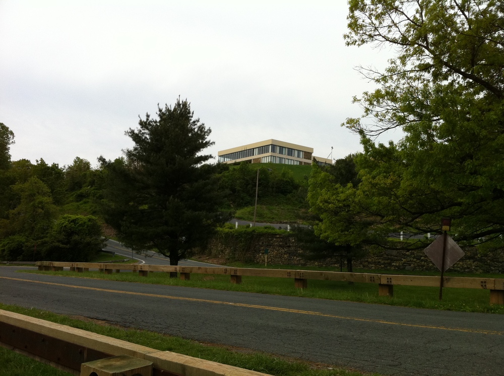

We sit here and eat lunch and watch the cars go by on I-64 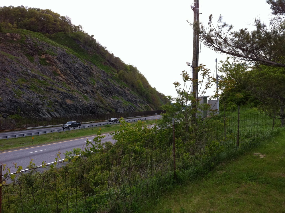
Another hiker came along and we chatted for a bit as we finished up our lunch. Turns out he’s from Bristol, VA and he’s thru-hiking. He bags about 20 miles a day and is looking to hit that distance before nightfall. He bids us well and heads on his way before we think to ask him his name. We head out shortly thereafter, taking in some more scenery. As we’re leaving we get a surprising horn blast from a trucker below which eggs us on our way. We didn’t even ask for it! The trail is nearby, and it breaks immediately upwards.
")
Obstacle to keep out the animals (I guess) 

The trail. Ahhh, the trail. 
We go up and up with a lot of effort on a poorly graded (in my opinion) path which leads us to a relatively even plateau. As we reach the top we encounter all of these communications towers. Equipment is everywhere and the atmosphere is humming with electricity. It’s all very surreal being in a national park with such surroundings. There is a fire road for what must have been construction access and a strange looking amphitheater of sorts outside the main complex. What’s cool about the amphitheater is the seats - they were sunk into the ground instead of having legs! Only pictures will do them justice:

Communication towers 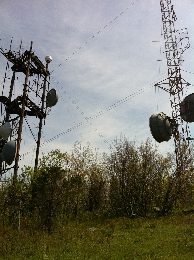

Communication towers 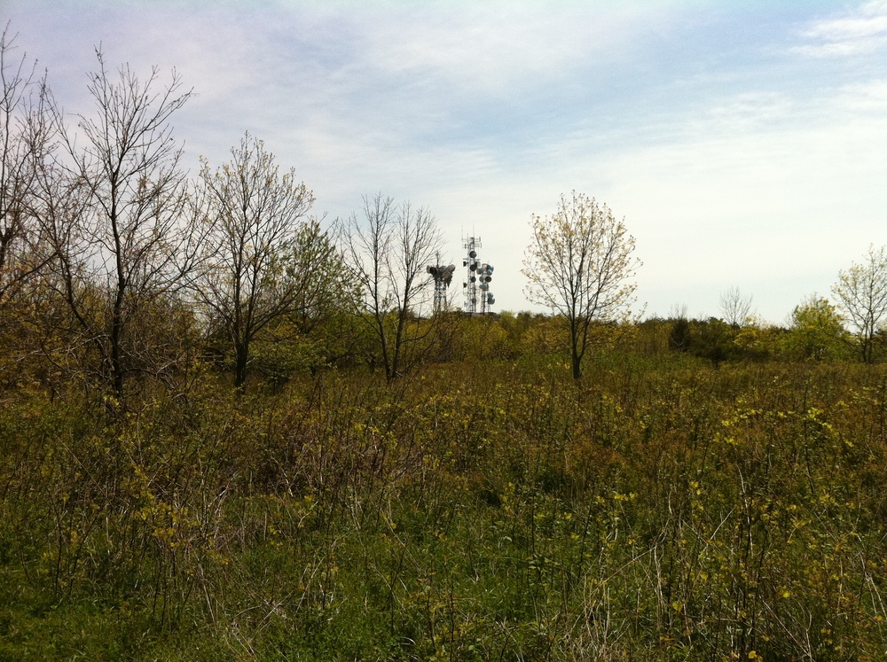

The field surrounding the communication towers 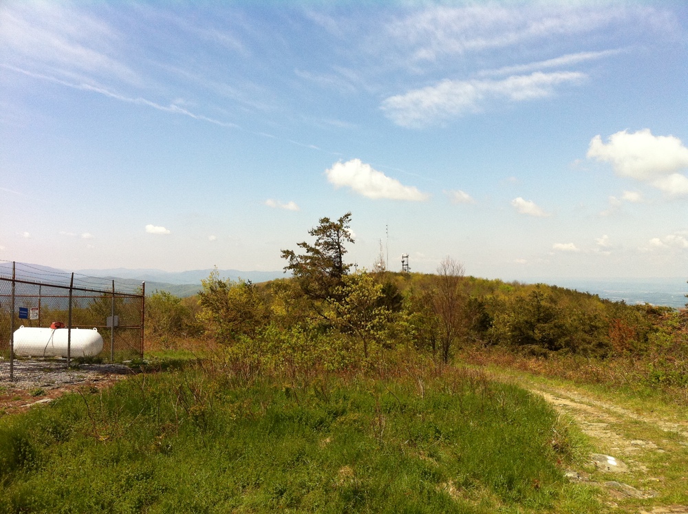

Me sitting at the amphitheater 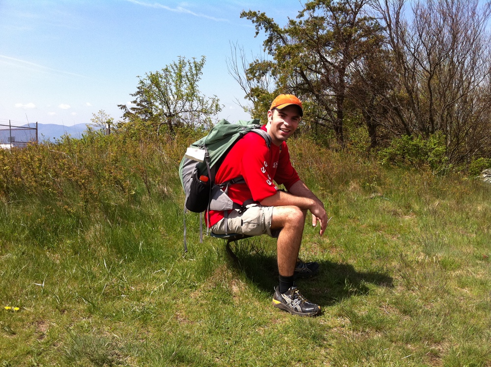

Closeup of the seats at the amphitheater 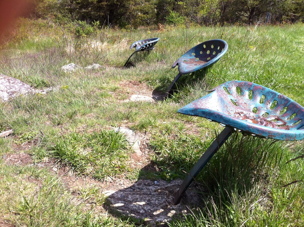
With the sun out in full and the temperature rising, we finish off the rest of the plateau and start to head down. Opening up before us is a beautiful field…

A huge plain opens up before us 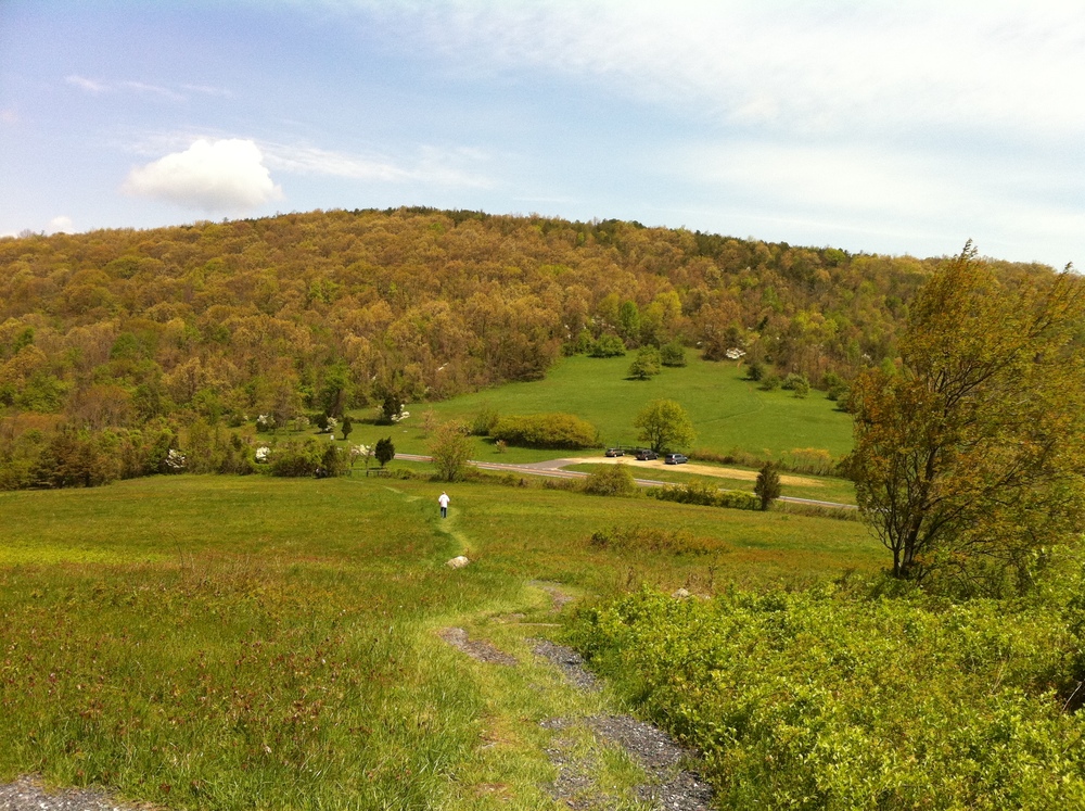

Beautiful clouds 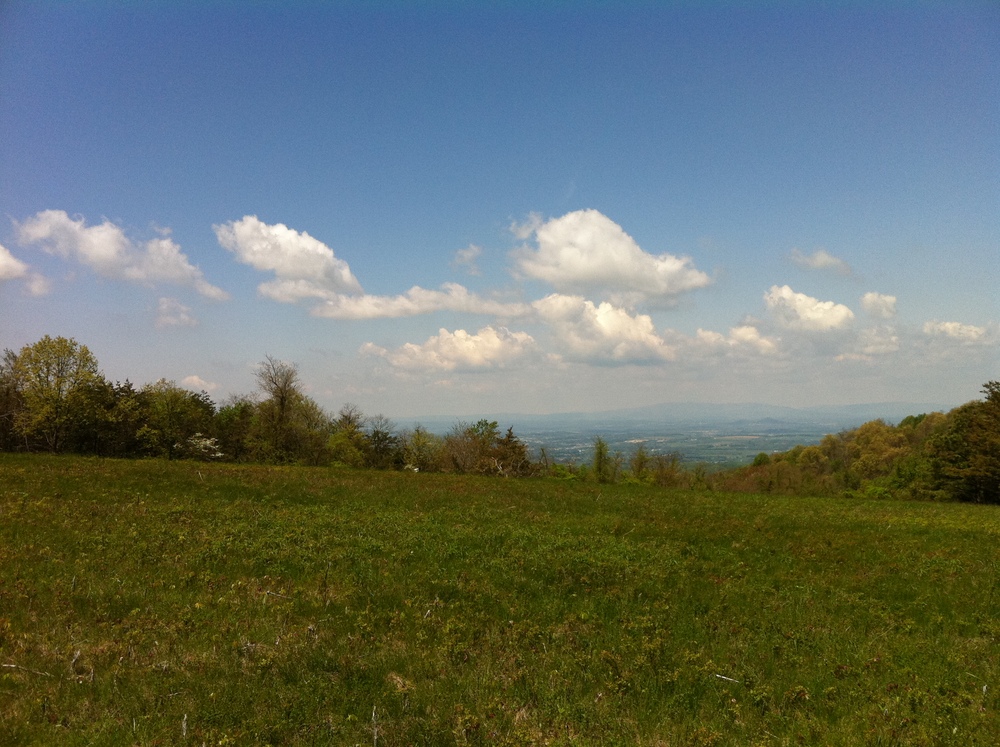
…at the bottom of the plain we catch back up with the thu hiker we’d seen earlier. We stop and chat for a little while longer and find out that his trail name is “No Cello” (he’s a cellist). We tell him about the awesome blackberry milkshakes available throughout the park and also warn him about the rollercoaster just above it. We also help ourselves to some trail magic put there by a section maintainer.

Woohoo! Trail magic! 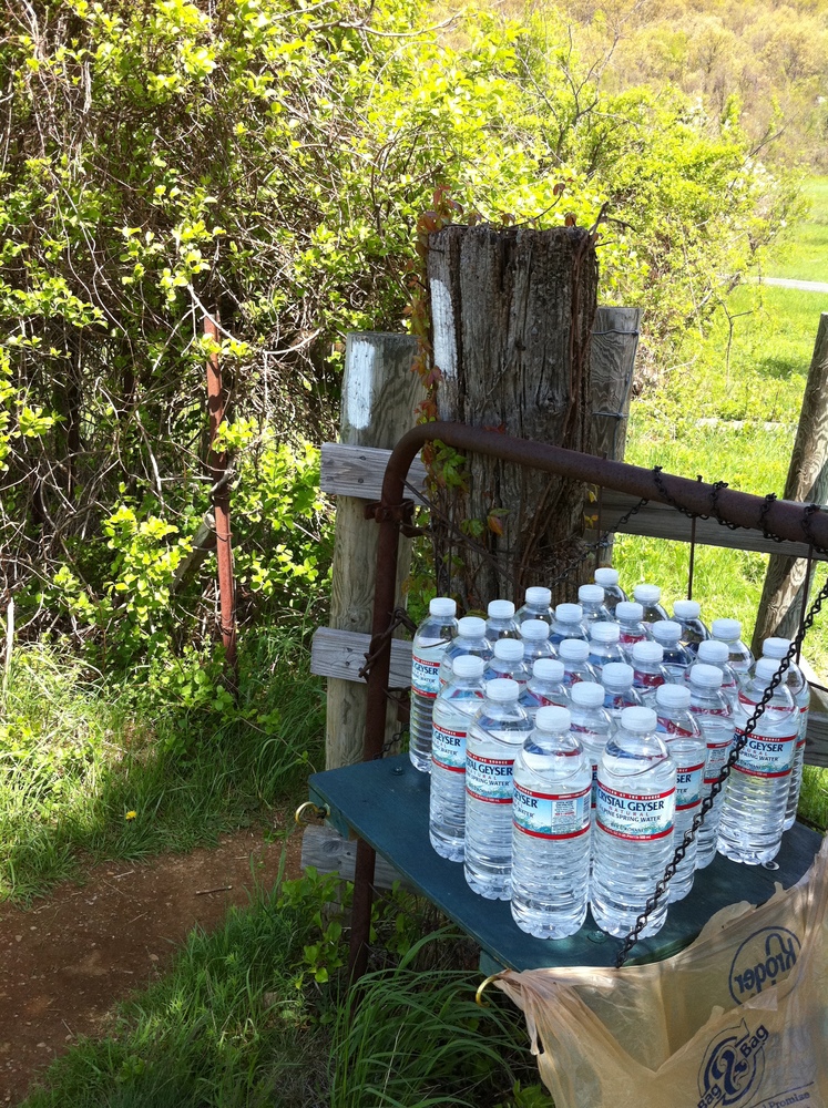
We part with No Cello for the second time. We’re in the lead and heading up the steep incline towards Jarman Gap. It is noon at this point, and Tommy and I both start to talk about what to do for lunch. We usually have a tradition of going to Waffle House afterwards, but this time we feel like beers and burgers instead. We count the minutes and try to map them to miles for an hour and a half until we actually see my car at the top of the trail. No Cello by this time had caught back up to us to wish us goodbye as we both hopped in my car and went into Waynesboro for some food. The trail has been good to us on this trip and we’re both thankful. We’ve had good weather, reasonable good terrain, and some good sites. Thanks, Shenandoah!

Nature trying to take over the power lines 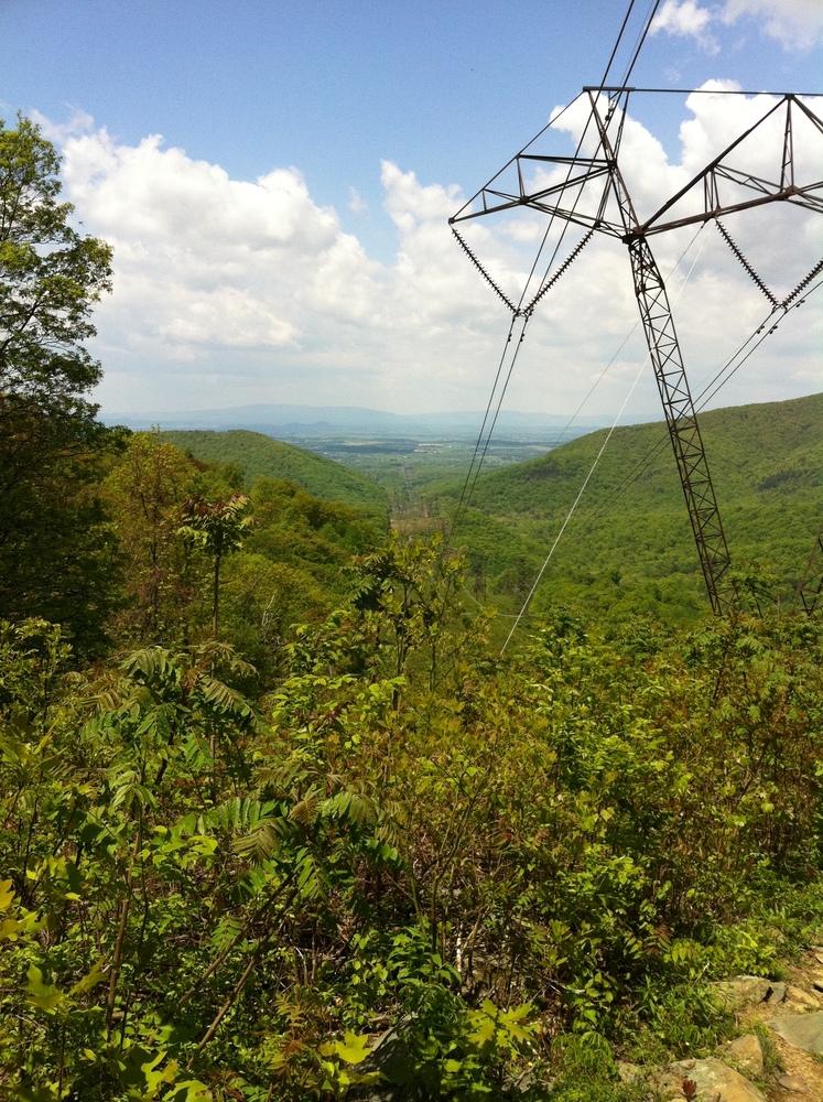

Another gorgeous scene